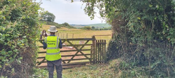
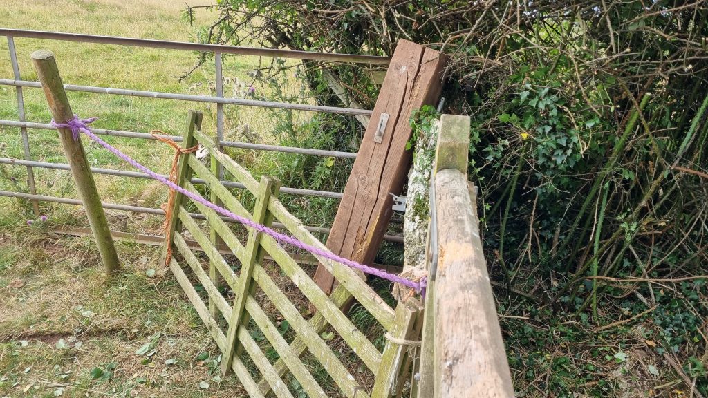
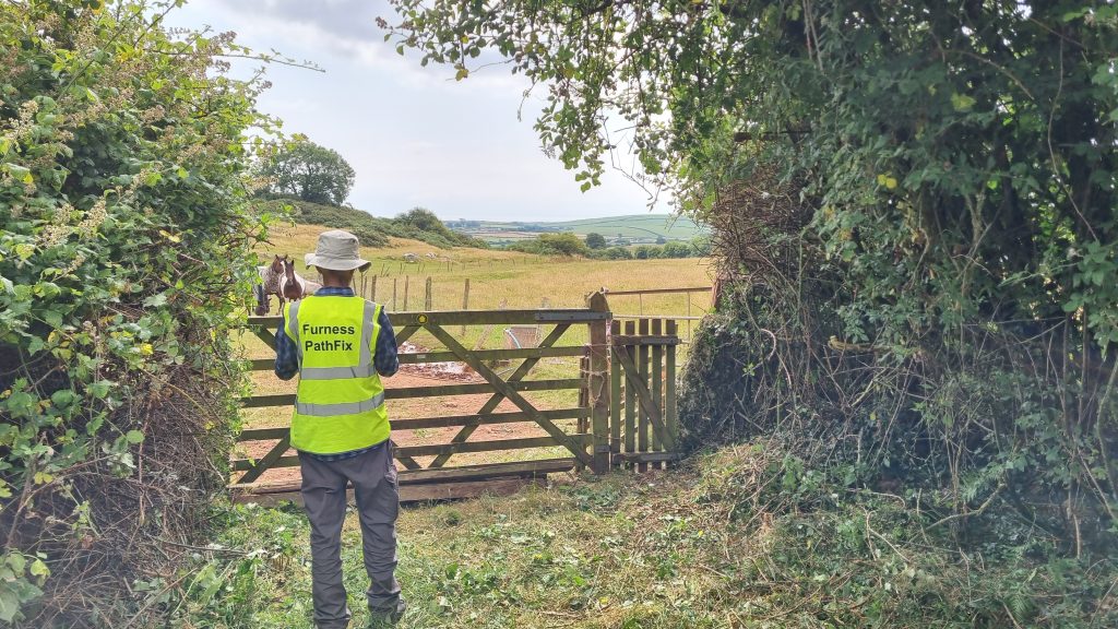
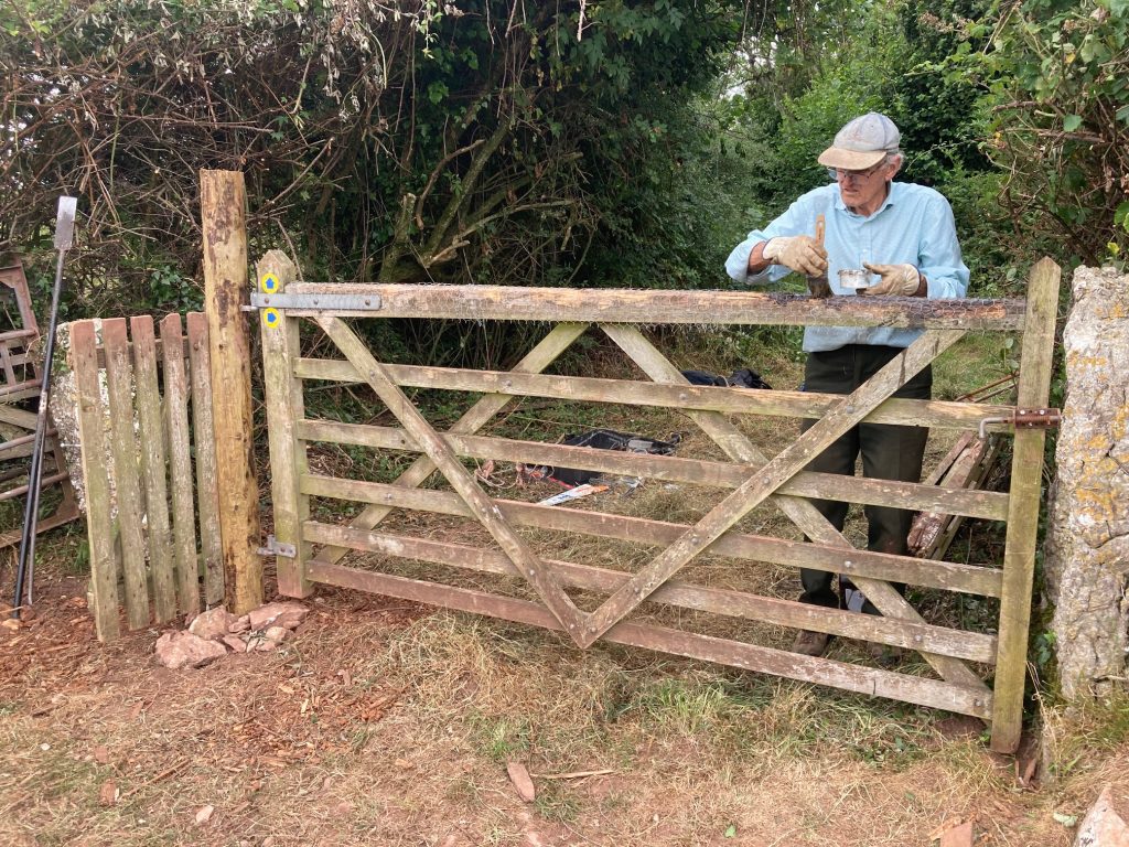
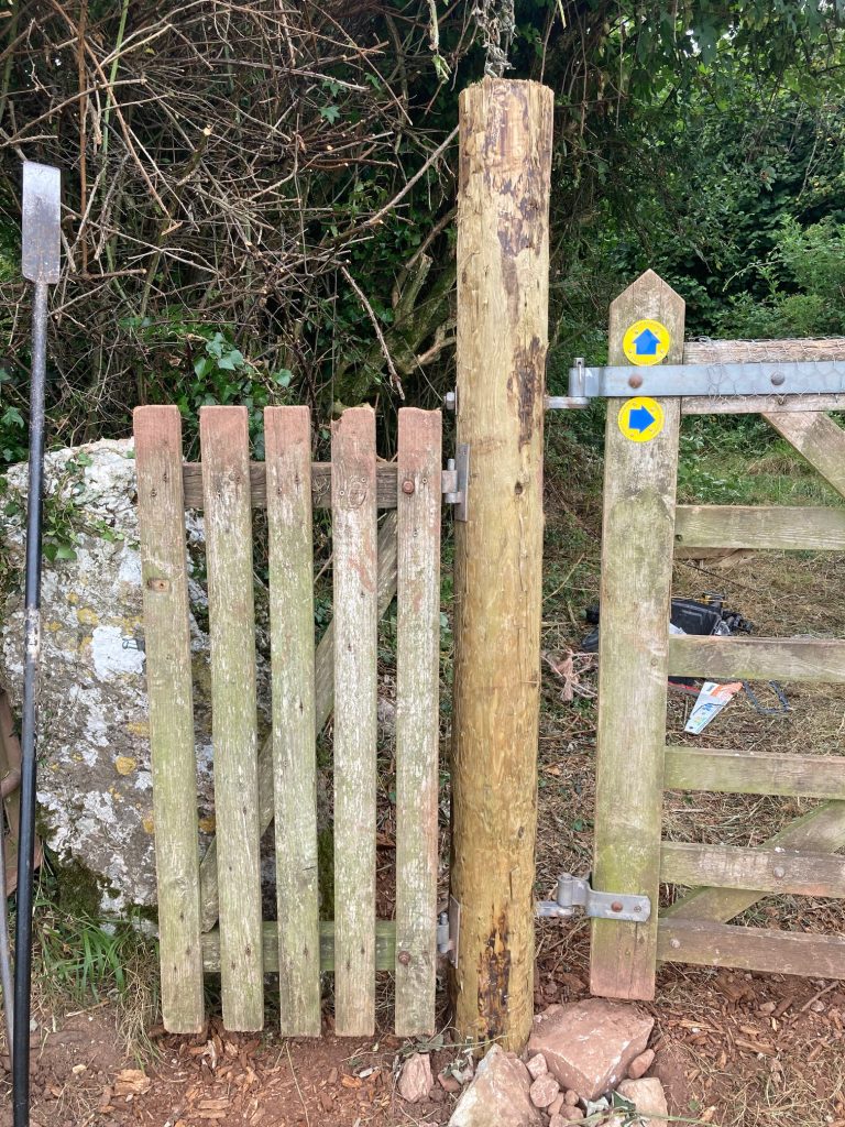
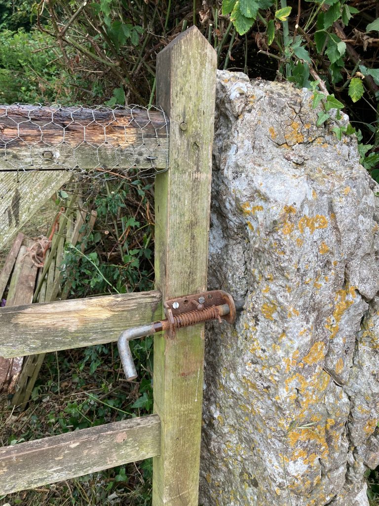
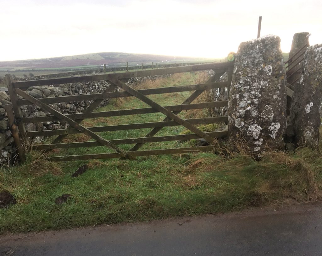
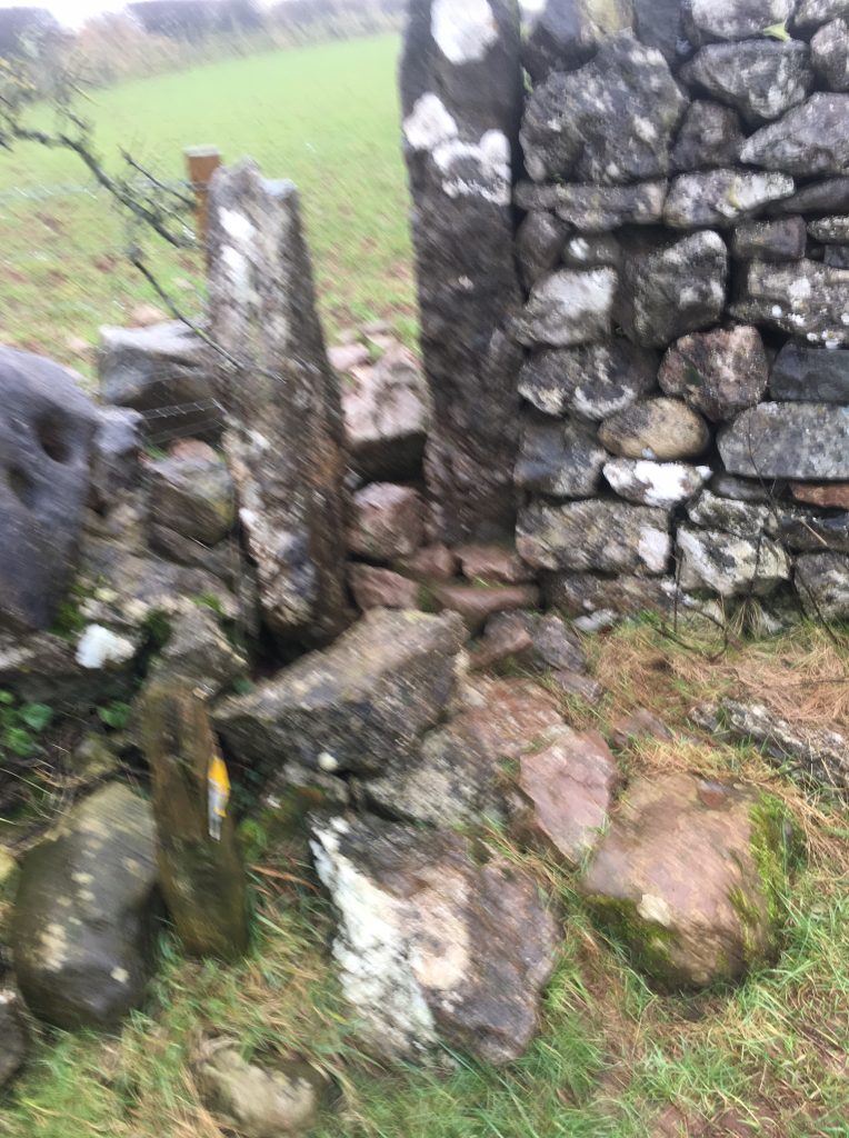
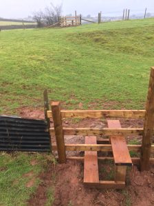
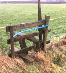
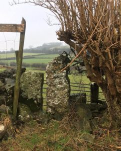
Blockage fixed north-west of Little Urswick, where the path meets Dimples Hole Lane – what a lovely name. This path had become unusable in the last few years, due to a gatepost collapsing. So in July 2026 PathFix volunteers cleared overgrowing vegetation, fitted a new gatepost, rehung the gates and put up new waymarks. (Click photos to enlarge.)
Before:
At the junction where Footpath 580017 meets Bridleway 580018 (Dimples Hole Lane) the gatepost had collapsed and the field gate and wicket gate it supported had had to be tied together and propped up and barricaded a bit, in order to prevent the horses getting out.
PathFix managed to find out who owned the land and get permission to fix things. And the first job was to clear back the hedges either side of the gates, which had run riot a bit and were hindering access.
After:
Then this week, our PathFix CWR volunteer team got it sorted. They re-fitted the gatpost and rehung the field gate and the adjacent wicket gate, and and here’s what it looks like now.
.The field gate had also suffered a bit due to the horses biting on the top bar – do they do this to clean their teeth? So the CWR team also fitted chicken wire over the top rail to stop the horses slowly destroying it.
Many thanks to the volunteers who cleared the area first, to the volunteer who put up the new waymarks (old ones had faded or disappeared). And particularly thanks to the CWR volunteer fixing team who had to get the heavy wood there (it’s 400m from the nearest road) and then get the gatepost installed and the gates rehung. Great work.
The following rights of way were surveyed in June 2025, since they were on the original route of the Haematite Trail.
ince then, Furness PathFix volunteers SB & LM have re-launched the Haematite Trail with some route changes, and only the first of the following path surveys is on the new route in this area.
In March 2025, volunteer MC surveyed the Cistercian Way route between Ulverston and Dalton-in-Furness and this page documents various problems found.
From Ulverston centre, the Cistercian Way goes past Ulverston station and then turns right off Springfield Road onto a footpath that leads to Swartmoor Hall, an important place in the history of the Quakers). There are some gates on this section and all of them are in good or reasonable condition, so no problems so far.
The Way then follows Swarthmoor Hall Road (no pavement, but only light traffic) and then Urswick Road to its junction with Red Lane. The first half of this Urswick Road section is busy but has pavement on one side; the second half is a quieter lane without pavement.
From Red Lane the Way enters farmland via a short length of walled track that then leads into a field, and this is where the problems start: –
P1: Gate off Red Lane into Walled Track (SD 2761 7590): The original gap stile, on the right in this photo , is no longer passable – too narrow and blocked by stones and barbed wire. But the adjacent gate opens fairly easily, so no problem entering the track, provided that gate is never locked.
Gate off Red Lane
P2: Awkward exit from walled track (SD 2762 7585): However the exit from other (south) end of the track into the field is poor. It used to be closed off by a fence with an adjacent wooden stile (S2, SD 2760 7585), but the metal fence sections now lie across the exit and are awkward to cross, and not possible if they were re-erected and secured. And to avoid them means climbing over the stile, which moves worryingly since one its posts is very loose in the ground.
P3: Dangerous stile between fields (SD 2760 7560): This ‘stile’ is more just a jumble of awkward to negotiate stones that is crossable but dangerous.
P3 stile
P3 stile from other side
P4: Difficult for all but most agile (SD 2758 7558): There’s a good firm flat bottom slab to stand on, but it’s hard to step onto anything higher and a long way up that requires very flexible knees and hips to lift your foot over the upper metal bar.
P4 stile
P4 stile from other side
P5: Footbridge by Urswick Tarn: Ok but could do with a makeover.
P6: Overgrown kissing gate by Urswick Church (SD 2670 7350): Just needs the foliage cut back.
P7: Kissing gate hiddenin bushes (SD 2640 7352): There is actually a kissing gate hidden in the bushes, but farm is derelict and gate seems to be permanently open so RofW is open. However farm is up for sale with planning permission for estate of houses, so no doubt the RofW will be taken into account as part of the building project and suggest no action needed by us at this stage.
Kissing gate hidden in bushes
Farm track adjacent to hidden kissing gate
P8: Very narrow gap stile (SD 2600 7383): Just passable but a large person will struggle.
P9: Approach difficult from both sides (SD 2542 7392): Passable but the approach from both sides difficult due to stones.
P10: Impassable gap stile (SD 2510 7396): Impassable, 4″ gap at narrowest point. Can climb over the adjacent wall reasonably safely heading west but heading east the drop is dangerous. Note the next stile across the road which is also very narrow but just passable and the gate has been openable over the last couple of years.
P11: Collapsing stile (SD 2458 7412): The step is not attached and the posts it sits on are rotten.
From here, the Cistercian Way route follows footpaths past Standing Tarn to Dalton and then follows the road through Dalton centre to Dalton Castle.
P12: January 2025: Previous problems here now sorted (SD 2393 7363): In this close area W&F Council and the farmer have reacted to our petitions over the last 2 years and 4 stiles have been completely replaced with 3 very substantial new ones 7435 – looking west shows the next 2 new stiles – both excellent.
And what used to be a dangerously sloping stile (1st photo) has now been replaced by a gate (2nd & 3rd photos, showing the gate from both sides), with improved and safer ground work on west side and fencing also replaced.
P13: Highfield Farm (SD 2435 7341): This stile over an electric fence is safe in terms of the electricity but the far side steps are uneven and need replacing. However, the stile is unnecessary as having climbed over it there is no way back out of the field, which is surrounded by the electric fence, or at least at the end of the field we are interested in. The alternate route is to walk 30m to the gate (shown by the orange bin) which takes you around the electric fence. The electric fence has been here for at least 2years. The next stile we are heading for can be seen directly ahead.
The 1st photo is the gate mentioned above, with the electric fence seen behind the gate post and out next stile on the left.
The 2nd photo is that next stile – in very poor condition. The steps are badly worn, the hand post is loose and there is barbed wire along the top of the rail. It is in a dangerous condition.
P14: Stones each side difficult to cross (SD 2475 7320): Piles of stones on both sides are difficult to cross.
P15: Crops grown over RofW (SD 2590 7320): The stile looking back to west is fine but there is no path. It is an arable field which seems to be always under crops. The route is directly up to the big tree. I came down the adjacent minor road to Bolton Manor to avoid the field.
P16: Stile blocked by tied-up fence panel (SD 2605 7328):
This gap stile is very narrow (1st photo, from south) and it is blocked by tied up fences on the north side (2nd photo).
P17: Dangerous uncrossable stile (SD 2605 7335): Uncrossable by even the most agile – the steps are rotten and detached and there is barbed wire on each of the side posts. It is dangerous. There is a gate about 50m to west.