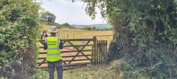
The Westmorland & Furness Way long distance trail was formally opened on 15th September 2026 in Sedbergh. And two Furness PathFix volunteers were there to support the event and meet the W&F Countryside Access team who worked on it.
Prior to that event, Cumbria Tourism produced the following W&F Way publicity video, showing and interviewing a PathFix volunteer team who were replacing an old badly damaged fingerpost north of Ulverston. (The W&F Way follows follows the Cumbria Way route on this section.)
In August & September PathFix volunteers have installed four new fingerposts on the Cumbria Way (CW) north of Ulverston, as part of our efforts to greatly improve the waymarking of the Cumbria Way. Many thanks to Westmorland & Furness Countryside Access Team for supplying the fingerposts.
Click photos to enlarge.
Two Fingerposts on Old Hall Road
Earlier this year we proposed and coordinated a Cumbria Way route improvement between Gill Banks and Old Hall Farm just north of Ulverston. The new route avoids a steep and eroded climb and also avoids the busy active farmyard at Old Hall Farm. To waymark the new route we have now fitted two new fingerposts.
This is where the new CW route gets to the end of the attractive Gill Banks track and comes onto the very minor Old Hall Rd lane.
BEFORE: The old fingerpost was starting to rot, but it also needed a new finger for the Cumbria Way.
AFTER: The new post has fingers for all 3 routes – CW south down the Gill Banks path, CW north along Old Hall Road and north-east along the footpath over Flan Hill to Town Bank Road.
Access track to Old Hall Farm fro Old Hall Rd (OS Map & Grid Ref): –
This is where the CW (when heading north) leaves leaves Old Hall Rd and goes down the farm access track and then turns right before the farmyard.
BEFORE: There should have previously been a fingerpost here, since the farm access track is a footpath leaving Old Hall Rd, but it was missing.
AFTER: New fingerpost waymarks both the public footpath and the CW route north and south.
Two fingerposts near Hollowmire Farm
Near Hollowmire Farm (heading north) the CW follows a very minor lane for 250m at Eller Riggs Brow, and new fingerposts were needed where it joined and left this lane: –
Here the old fingerpost had lost one of its fingers and the remaining finger was hard to read. It has now been replaced with a new one that has fingers for walkers going both north and south on the Cumbria Way.
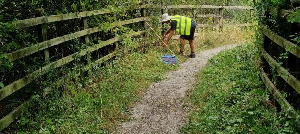
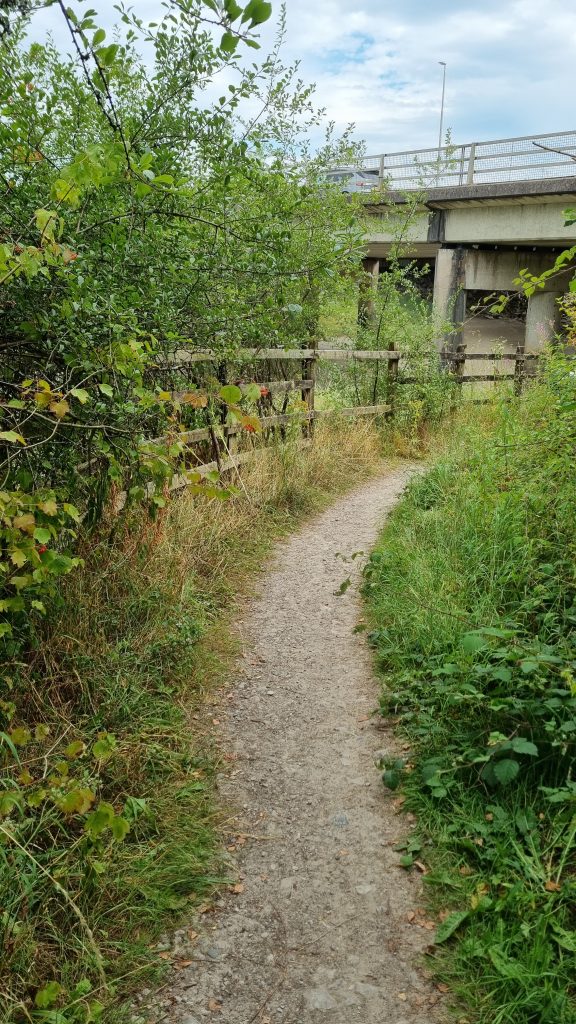
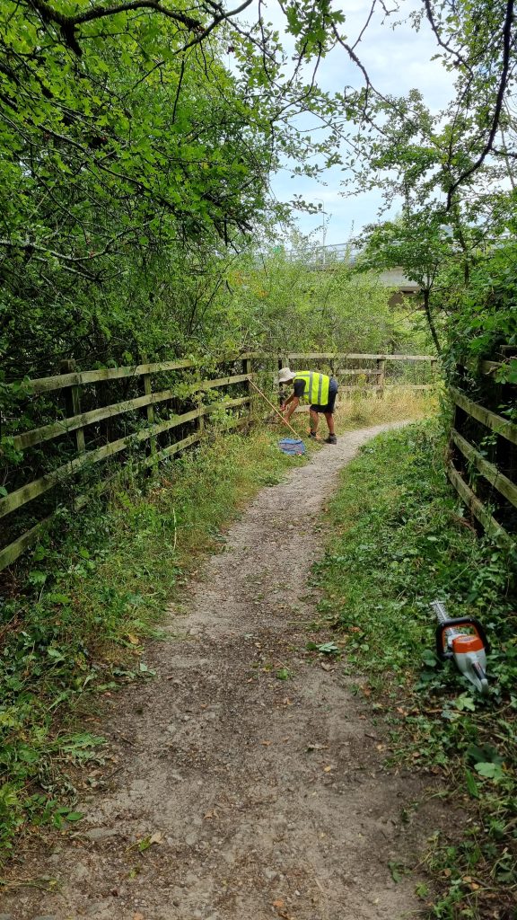
This short but useful path (actually a byway – BOAT 522017) goes from the southern end of Greenodd main street to the river Crake, where you can turn right to get under the A590 and so get to the footbridge over the river Leven to the Holker side. Our council contacts had asked us to do some clearing after someone reported it as needing attention.
So volunteers MS, CH, SH and PQ went and used hedge trimmers to cut back the vegetation that was starting to encroach the most.
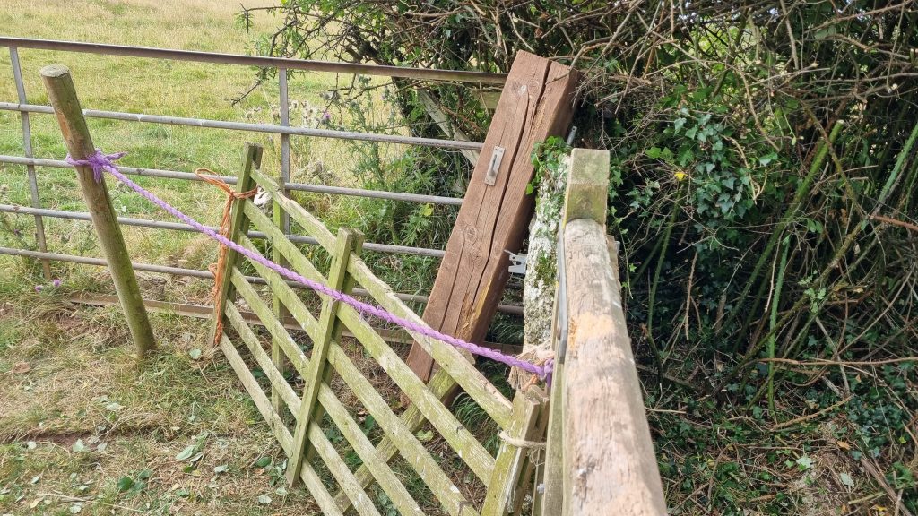
Blockage fixed north-west of Little Urswick, where the path meets Dimples Hole Lane – what a lovely name. This path had become unusable in the last few years, due to a gatepost collapsing. So in July 2026 PathFix volunteers cleared overgrowing vegetation, fitted a new gatepost, rehung the gates and put up new waymarks. (Click photos to enlarge.)
Before:
At the junction where Footpath 580017 meets Bridleway 580018 (Dimples Hole Lane) the gatepost had collapsed and the field gate and wicket gate it supported had had to be tied together and propped up and barricaded a bit, in order to prevent the horses getting out.
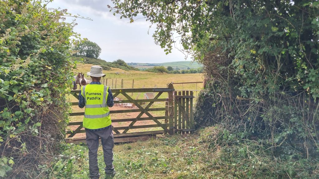
PathFix managed to find out who owned the land and get permission to fix things. And the first job was to clear back the hedges either side of the gates, which had run riot a bit and were hindering access.
After:
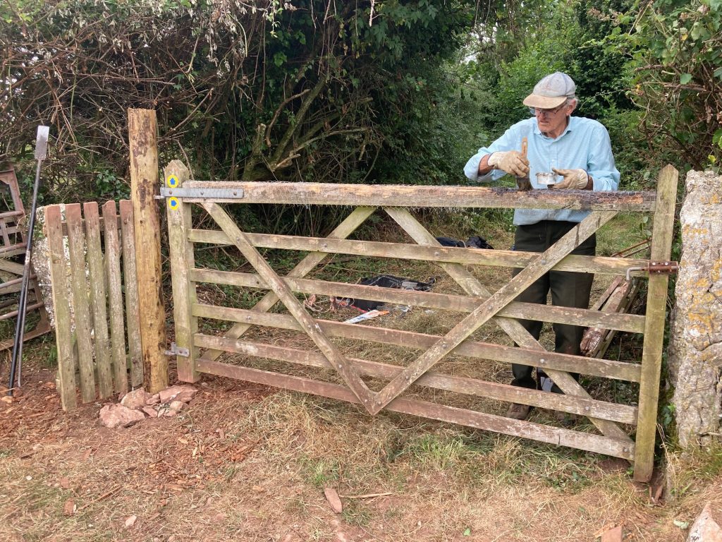
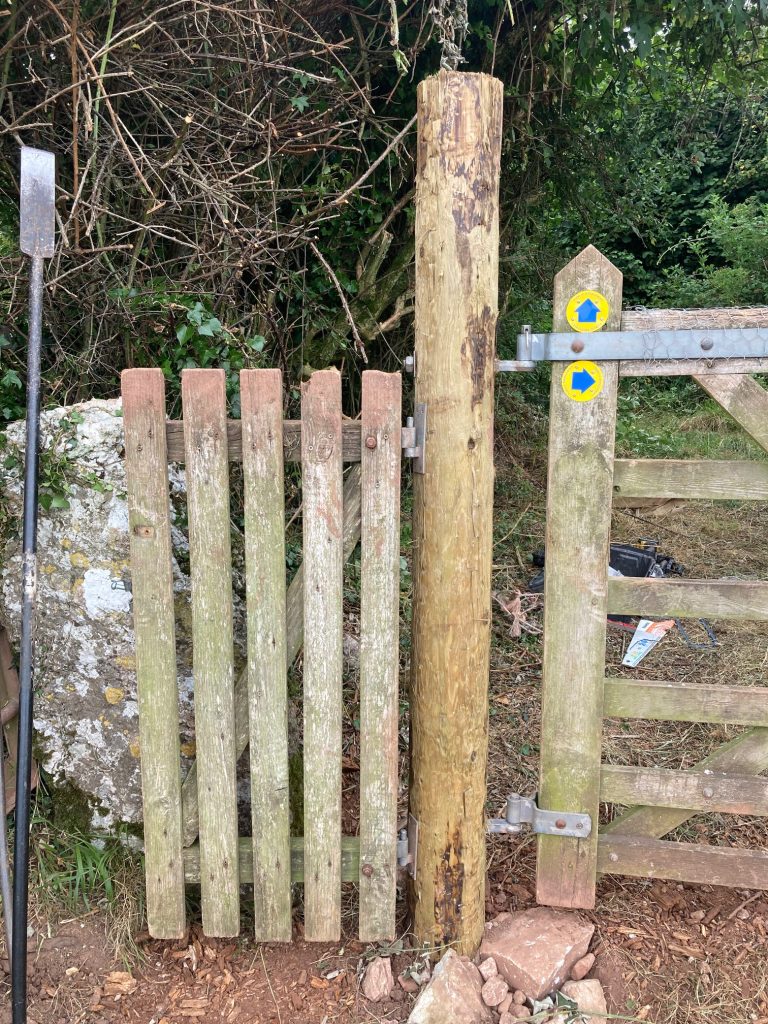
Then this week, our PathFix CWR volunteer team got it sorted. They re-fitted the gatpost and rehung the field gate and the adjacent wicket gate, and and here’s what it looks like now.
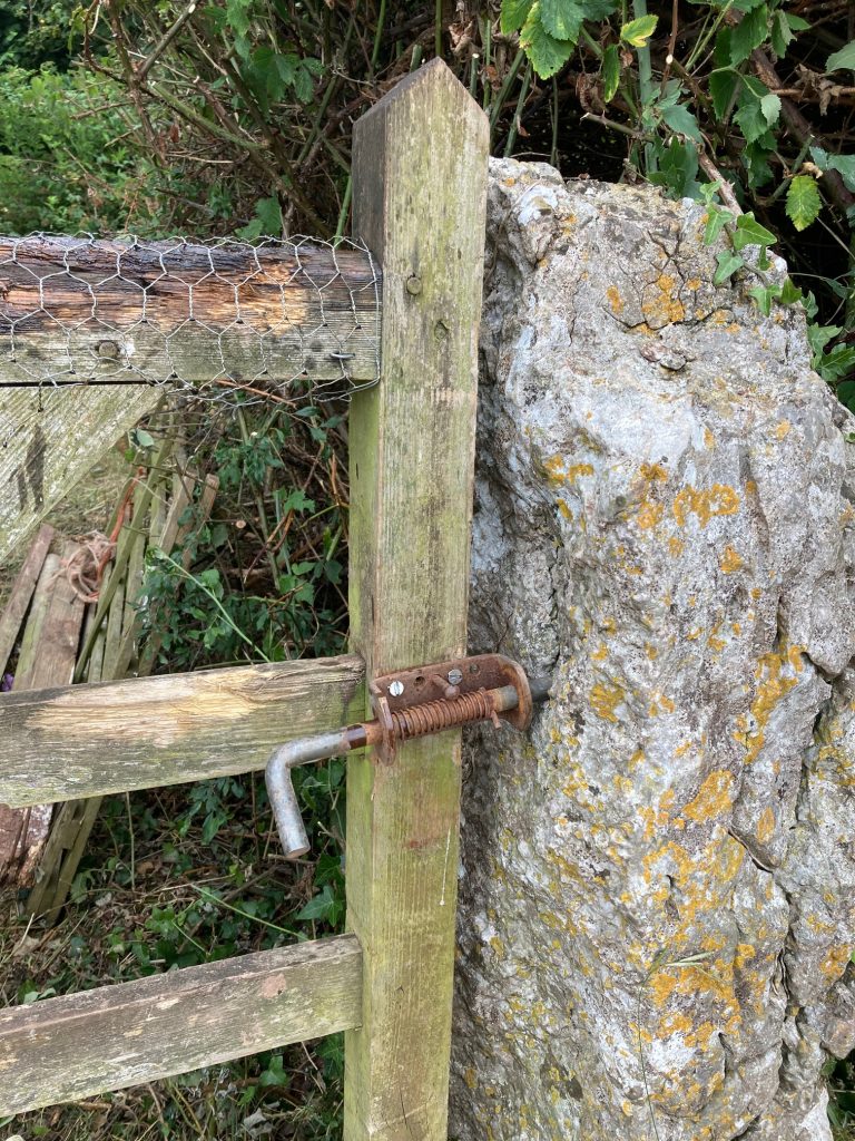
.The field gate had also suffered a bit due to the horses biting on the top bar – do they do this to clean their teeth? So the CWR team also fitted chicken wire over the top rail to stop the horses slowly destroying it.
Many thanks to the volunteers who cleared the area first, to the volunteer who put up the new waymarks (old ones had faded or disappeared). And particularly thanks to the CWR volunteer fixing team who had to get the heavy wood there (it’s 400m from the nearest road) and then get the gatepost installed and the gates rehung. Great work.
The first 50m of the path off Broughton Rd to Mouzel Farm (FP 602024, about a mile north of Dalton, Grid Ref: SD 2343 7575) had again become blocked. But PathFix volunteer CH went out (on a hot day – many thanks) and cleared it. Photos coming soon.
PathFix volunteers CH & partner cleared 3 stiles on the Aldingham to Gleaston Castle path (FP 501020), all of which are now much easier to use after the vegetation was cleared back. (Council Ref: L103814)
BEFORE: Overgrown stile through hedge. Grid ref SD 2734 7085.
AFTER: Now much easier to get over.
BEFORE: Overgrown bridge through hedges. Grid ref SD 2722 7094.
AFTER: That’s better.
BEFORE: Overgrown gap stile through hedge. Grid Ref SD 2697 7093.
AFTER: Can get through now without fighting the hedge.
PathFix volunteers cleared one stile and re-built three more, all on the short footpath between Greystone Lane and Long Stainton just south of Stainton (FP 602011) needed sorting.
PathFix volunteers LM, SB & SB first surveyed that short section of the Haematitie Trail and also cleared the vegetation that was blocking the gap stile where it leaves Greystone Lane.
Then later, the CWR PathFix volunteer team fixed the other three stiles – all wooden stile – one of which was missing altogether and two of which needed repairs. They also fitted new waymarks.
This is one of the stiles worked on. There was no stile left through this hedge – just one stone that looked like there might at one time been a gap stile there.
So the CWR volunteer team opened up a gap thrugh the hedge and built this new wooden stile there.
An old stile in the stone wall at Buckhorn Lane had been completely overgrown by ivy. So PathFix volunteers MS & SC cleared the completely overgrown stone step stile. And since the wall is quite high, volunteers JW & MC then fitted a handrail to make it safe to use. (Click to enlarge photos.)
BEFORE Is there really a stile & fingerpost under all that ivy?
AFTER Yes! Here it is! And now with a handrail too.